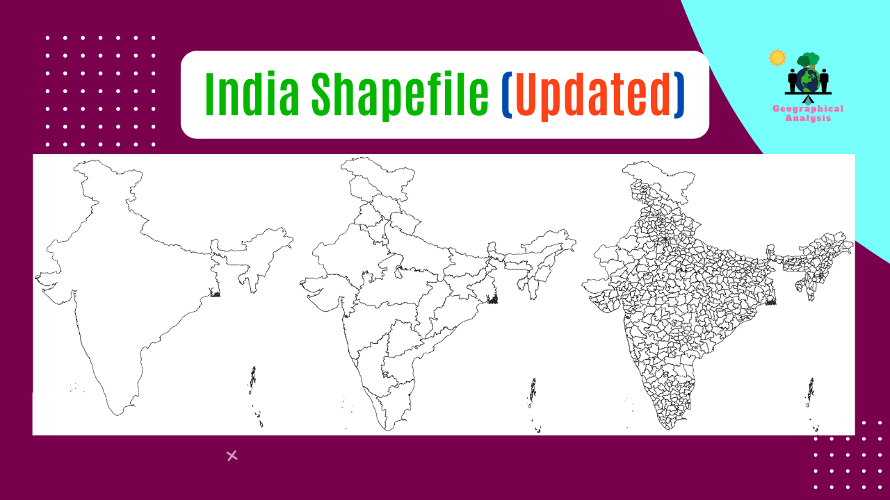
This page contain most updated shapefile of Indian State and Block boundary. Download and use all this shapefile in your work.
Visit our Product Page:
At the moment, India consists of 28 states and 8 union territories. Jammu and Ladakh, Dadar and Nagar Haveli and Daman and Diu were also included in the Shapefile as recently developed regions.

Visit our Product Page:
As of Now, India comprises a total of 806 districts. Download shapefile including all these districts.


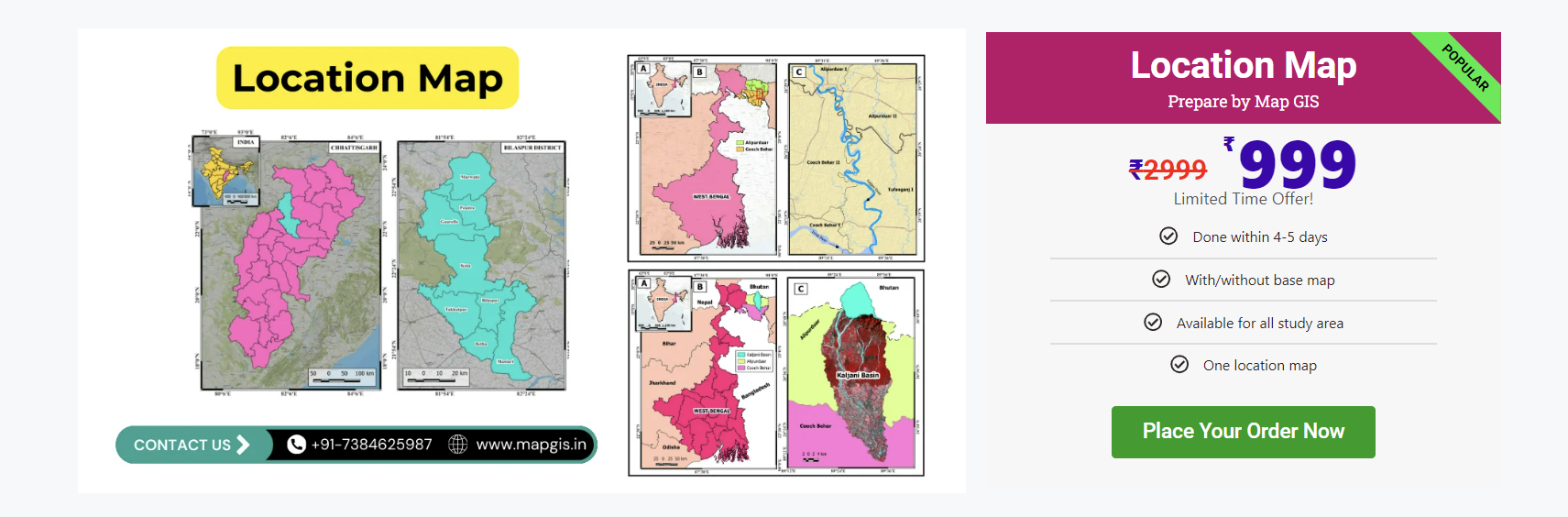
Order Location Map From Mapgis.in
N.B. Use all this shapefile educational purposes.
1 thought on “Shapefile of India State, District Administrative Boundaries (2025)”